CartoKit: Finalizing Procedural Island Generation

2025-09-22
CartoKit: Finalizing Procedural Island Generation

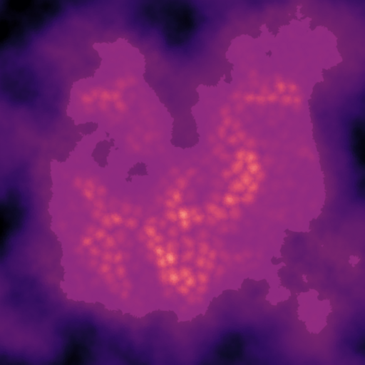
This final installment details how CartoKit bakes generated island data into a compact mesh, visualizes it with an egui viewer, and exports assets for other tools. It features three key components: a baked terrain mesh containing elevation, moisture, biome, and river metadata; a CPU debug renderer and viewer for visualizing the data; and export helpers for GLB, PNG, and GIF output. The entire process is efficient and modular, laying a solid foundation for future extensions.

Read more
Development

Procedural Generation of Realistic Terrain: Multi-scale Noise and Mountain Modeling

2025-09-17
Procedural Generation of Realistic Terrain: Multi-scale Noise and Mountain Modeling

This post, part III of a procedural terrain generation series, builds upon the paint map and mountain ridge system established in previous parts. It details the addition of multi-scale noise layers and distance-based mountain peaks, culminating in a final terrain elevation map through blending techniques. The author explains using Simplex noise to add detail at varying frequencies, and coastal noise enhancement to control coastline variation. A distance field is calculated using Delaunay triangulation and a breadth-first search (BFS) algorithm for more natural mountain shapes. Finally, the different terrain components are blended to create a realistic result.

Read more
Game terrain